King Henry's Road, Lewes:
Part of the Wallands Park Estate
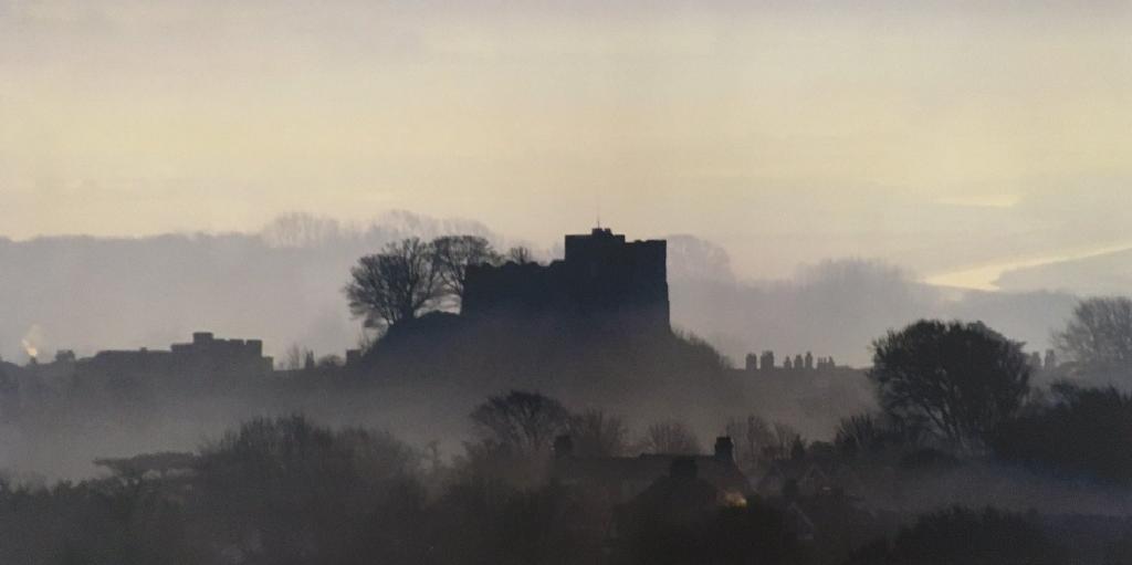
Photo © Alan Chapman
Introduction:
I came to live here with my husband and two sons in 1982. After delving into my own family history in the 1990's, I began to make notes (pre-computer) on the history of the houses in King Henry's Road. No further progress was made until the 2020 "Lockdowns"!
The Lewes History Group has recently been encouraging people to compile their "street stories" in this town. This prompted me return to the work I had done previously, and so it has been expanded into this new website. I hope people will find this a useful source to illustrate the late 19th century and early 20th development of this suburb of the town of Lewes, and possibly learn more about the history of the houses they live in today.
I have drawn on information from all the relevant Census schedules, and the 1939 Register. For planning applications & subsequent building developments I consulted the list of planning applications to the Lewes District Council and the South Downs National Park. Other documents were consulted at The Keep.
Plan of Freehold Building Land comprising the remaining portions of the Wallands Park Estate, Lewes, Sussex’
ADA/ACC2933/1/6/2 · 29 Sep 1905 · East Sussex Record Office
General History:
In the beginning......
"The open arable land called The Wallands (in Valor Ecclesiasticus "Walland sub Castro") a portion ofthe tithes of which belonged to the Priory of St Pancras; valued in the time of Henry VIII at £4 13s 4d. The land for which these tithes arise was long known by the name of 'The Portion'. "
Some Memories of Old Lewes: William Figg 1861.
Ref: Wallands. Sussex Archeological Collections vol.XIII p.10.
The 1875 OS map for Lewes (surveyed in 1873) has both King Henry's Road and Prince Edward's Road clearly marked out - but there are no houses there, excepting for "The Limes". By contrast Wallands Crescent has already been developed.
The Wallands Park Estate:
One way to describe the estate is to say that this largely Victorian & Edwardian development is bounded on the north, by the Offham Road (A2029); on the west by the A275; on the south byThe Avenue and Bradford Road.
Broadly speaking, it includes the following Victorian and Edwardian roads: Leicester Road, Valence Road, Prince Edward's Road, King Henry's Road, De Warenne Road & The Avenue.
King Henry's Road began as a development of residential housing in the late 19th Century and early 20th Century. The portion of the road nearest the town was developed first, so houses there belong to the Victorian era. Later developments (1901 onward) fall into the Edwardian era.
From the 1891 Census: the enumerator's schedule contained 8 households, all but two ("The Lodge" & "Wickham") situated on the south side of the road. The south side, with its large south-facing back gardens, was perhaps the obvious choice of location of house-builders and buyers, and continued to be so until most of those plots were developed.
From the 1901 Census: the number of houses had more than doubled: 17 households were enumerated, but as in the previous census, only 2 of those were situated on the north side of the road: The Lodge: (Montague Blaker & family) and Wickham (the Uridge family).
The road was made up (metalled) in 1902 and each householder had to pay a proportion of the charges involved. Thomas Reader White's bill for "Chudleigh" [no.14 otherwise "Pedmore"] came to £36 12s 2d.
The houses were not numbered until after the Great War ended (1918). As new owners occasionally decided to rename their house, it can sometimes be difficult to tie up names and house numbers today.
It is also worth mentioning that the houses on the north side of King Henry's Road, now numbered from 21 - 33, belonging to the Edwardian era, were built with their frontages facing onto the Offham Road. One or two still have gates there, but with no footpath on that side of what is now a very busy road, stepping out could be lethal. At some point owners must have decided to have a new front entrance made, onto King Henry's Road.
Utilities: At first all the houses had cesspits, which would have had to have been regularly emptied and maintained. The first owner of No.14 applied for permission to sink a cesspool "in the footway in front of the house", and referred to arrangements to be made with the adjoining house (No.16). I haven't yet been able to discover when mains drainage arived in King Henry's Road, but it must surely have been an improvement.
Taking Chudleigh as an example, gas lighting was provided for these houses in the 1890s. Cooking was done on a cast iron range, and there was a primitive system of water heating for the bathroom (presumably from the range) with a lead pipe and a brass tap. It looks as though the maid would have had to draw hot water from the tap into a bucket, and then empty this into the bath.
Other rooms were heated by coal fires: Chudleigh had fire grates in the hall, the two main reception rooms, three principal bedrooms on the first floor, and much smaller fire grates in the two attic rooms above.
At the moment of writing, I do not know when electric light took over from gas in King Henry's Road, although the electricity supply for the centre of the town was begun in 1904 [source: a photograph from the Reeves archive]. In many rooms, the mountings for gaslights can still be spotted with a keen eye. A lease for the letting of "Chudleigh" in 1918 has a detailed inventory attached. Reference is made to gas lighting for every room in the house. When electric light first arrived, cableing ran through ugly black metal conduits, and many of these still lie underneath the floorboards of Chudleigh.
Servants: If you scroll through the pages devoted to individual houses, and their Census listings, you will find that in 1891 almost every house kept at least one servant, and larger families needed two or three. With very few exceptions, servants were almost always young, single & female. I have included their birth locations, to show that, again, they were almost always very local - from Lewes and the surrounding villages.
King Henry's Road families kept servants in the 1890s, the 1900s, after the Great War and right up to the beginning of the Second World War.
From the 1911 Census: the number of houses had again increased, this time by almost a third: the enumerator's schedule now comprised 10 households on the north side, and 14 on the south side of the road.
1939 Registers: No changes or new developments to be reported, in almost 30 years.
Post WW2 Developments:
The 1950s and 60s saw a number of (approved) planning applications for garages in King Henry's Road. This almost certainly reflected the increasing ownership and usage of cars in the post-war era.
Long Cottage: A planning application for the extension of the Coach House lying behind Wallands House, to form a three bedroomed dwelling, was approved in 1987.
"Leaf Yard" lies within the curtilage of Long Cottage, and the garage there was at one time used to sell fruit & vegetables (1953 temporary permission).
Land adjacent to Wallands House, King Henry's Road, Lewes: outline application for erection of dwelling, garage and driveway: refused 1989.
The Garden Cottage would appear to be a post-WW2 development in the grounds of Wallands House.
Other Post WW2 Developments:
It is worth noting that, with the exception of Eleanor Close, further developments in King Henry's Road have been limited to closes of detached or semi-detached houses. But in almost every instance, one can find previous applications listed which cite development in the form of large blocks of flats: fortunately applications of this nature were turned down. Had they succeeded, the nature of the original Victorian & Edwardian Wallands Park Estate would have been lost for ever.
Land west of 3 King Henry's Road: the erection of two detached houses with garages was approved in 1986. These houses became nos.5 and 5a (Palm Cottage) King Henry's Road.
Segrave Close 1965 (7 houses); Sackville Close 1965 (9 houses);
Eleanor Close 1970 (60 flats); Queen Anne's Close 1982 (9 houses); Cromwell Place 2003 (6 new houses and conversion of the original Victorian house into 8 flats).
Segrave Close: Planning application for 7 two-storey houses (with garages) was made in 1964, and the Close was developed in 1965. Post code BN7 1DA
Sackville Close was eventually developed within grounds belonging to the Lewes High School. The history of planning applications goes back to the 1960s. An appication for 3 pairs of semi-detached house with garages, was eventually approved in 1964. Post code BN7 1BS
Eleanor Close: In 1968 an outline plan was submitted for 16 houses and garages. The plan was refused. In 1969 an outline application was submitted for demolition of the existing house [Lindholme, 15 King Henry's Road] and erection of two blocks of flats. This decision was approved. In 1970 the final plan for 12 two bedroom flats, 36 one bedroom flats, 12 bedsit flats, 41 covered parking spaces, 19 open parking spaces & 12 visitors parking spaces was approved. Post code BN7 1DD
Queen Anne's Close: developed c1982 on the site of "The Lodge" otherwise 1 King Henry's Road. 9 detached houses with garages. Post code BN7 1BQ.
For a summary of the previous unsuccessful planning applications for this site, please go to 1 King Henry's Road
24 King Henry's Road: (otherwise Cromwell Place) An application was received in 2001 for: Change of use and conversion of offices [formerly East Sussex Fire Brigade Offices from 1980] to form eight flats, including an extension, demolition of single story buildings & erection of six dwellings & associated landscaping. Approved 2003.
Post code BN7 1BZ. NB There are 14 dwellings on this site, but no number 13, so the final unit is numbered '15'.
o